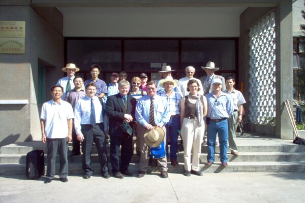
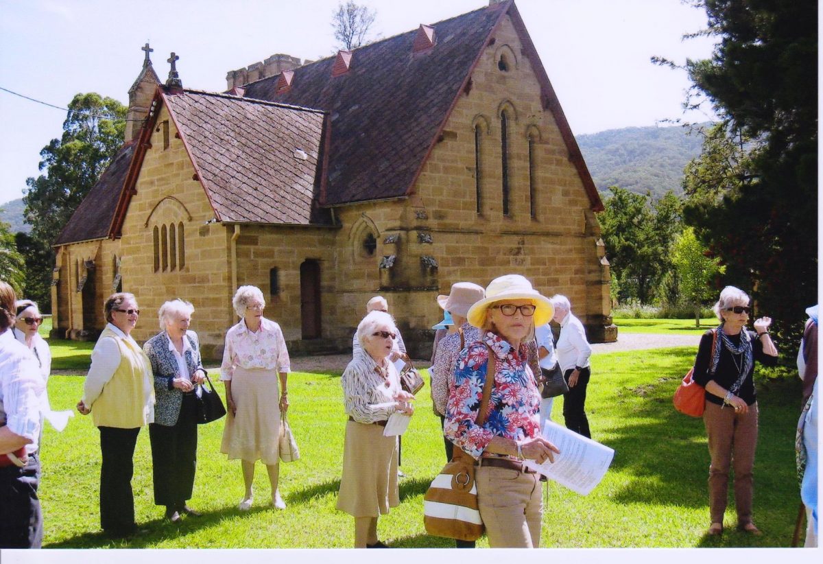
Featured Image: Murrurundi Anglican Church hosting a visit by Scone ADFAS in 2014. Peter Carlin was the tour guide. It was one of the ‘best ever’ outings by Scone ADFAS. A rather startled looking Julia Hardy is bracing the camera.
HISTORY OF MURRURUNDI
See: http://upperhunter.nsw.gov.au/f.ashx/documents/6015-HistoryofMurrurundi.pdf
Murrurundi was home to the Wanaruah tribes before settlement by white people. Murrurundi gets its name from the Wanaruah place name “Murrumdoorandi”.
Locals understandably claim that it means “nestled in the valley” though it seems more likely that it refers to five unusual rock formations near Temple Court (four now remain) and may mean “five fingers” or “meeting place at the five fingers”. At least it’s better than whitefella ‘two fingers’? It was in 1824 when Henry Dangar moved through this valley that he was attacked by the Wanaruah people. He retreated but he and other travellers moved on through the Upper Hunter area. By the early 20th century there were little or no signs of indigenous people still living in the Murrurundi area.
Murrurundi Township was set out by the Government in 1840, however most of the land was held by big landowning families. Ordinary people were unable to purchase building blocks for homes so Thomas Haydon subdivided a large block, “The Commodore Block” and established Haydonton. The first block was purchased by Benjamin Hall, Snr. with his family in 1842. Over years, the name Haydonton fell into disuse. Murrurundi was gazetted a municipality in 1890. The two, separated by Halls Creek were amalgamated in 1913. Haydonton Post Office was closed in 1913 and the new Murrurundi Post Office was opened in its present position in 1913.
It was during the years of 1826 to 1834 that 3000 convicts built the first road which then formed part of the Great Northern Road. During 1827, following in Henry Dangar’s footsteps, farmer William Nowland from Singleton (formerly known as Patrick Plains) established a station along the Warrah Creek on the Liverpool Plains.
In 1829 William Henry Warland established his estate, ‘Harben Vale’, south of Murrurundi near the village of Blandford. Blandford was named after his birthplace in England. By 1834 Warland had built a homestead and formed a partnership with Peter Haydon whose brother Thomas also acquired land in the area.
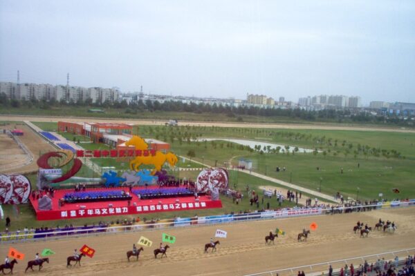
Thomas Haydon founded the Murrurundi Race Club and racecourse during 1841 and also donated land for the town’s first church, St Joseph’s Catholic Church, which was built in that year. The first private school in this area was built in 1843 and the seventh national school in Australia was built in 1849. Murrurundi, in 1867, had a population of around 350 people.
During the early settlement in the town, there were many bushrangers lurking in the district. Amongst them were the Jewboy Gang. This gang was hunted down after they murdered John Graham in Scone, rode to Murrurundi, swapped their horses and headed over the range to Doughboy Hollow where police magistrate, Edward Denny Day and his party, caught up and captured them. They were hung for their crimes in 1841. Benjamin Hall, Snr. former convict, settled in Haydonton in 1842 with his family which included his son Benjamin. Ben Jnr. was taken by his father to the Forbes district when he was 13 years old and never returned to Murrurundi to his family.
The railway came to Murrurundi in 1872 and the town was an important railway centre until 1926 when operations were shifted to Werris Creek. The population diminished after 1926.
The work on the tunnel under the Liverpool Range commenced after 1872 and took several years to complete. Additional steam engines were required to haul the steam trains from Murrurundi to Kankool through the tunnel. Several accidents occurred at the end of the tunnel on the Ardglen side as the smoky soot from several engines affected the crew. In 1909 a fireman on one of the trains was scalded to death.
Between 1911 and 1915 Murrurundi was well known for its shale mining and the town’s population being at its highest during 1914. Murrurundi is now a service centre and is sustained by quality sheep, beef and horse studs and by both crop and meat production. Tourism is a vital part of Murrurundi’s economy.
Places of historical interest are:-
- The Literary Institute, Mayne Street – now Murrurundi Museum
- RSL Memorial Hall, Mayne Street
- Rosedale (National Trust) – brick and timber house in Little Street
- Bridge House (National Trust), Mayne Street
- Dooley’s Store (National Trust), Mayne Street
- White Hart Hotel (National Trust), Mayne Street
- Upper Hunter Shire Council Chambers, Mayne Street
- Haydonton Inn, Mayne Street
- Masonic Hall, Victoria Street
- St Joseph’s Catholic Church, O’Connell Street
- St Paul’s Church of England, a Horbury Hunt building – built in 1873
- Railway Hotel, Adelaide Street
- Site of Hall family home, Adelaide Street
- Post Office, Mayne Street
- CBC Bank premises, Mayne Street
- Royal Hotel and Cobb and Co stables, Mayne Street
- Telegraph Office, Mayne Street
- Suspension Bridge in Murulla Street
- Court House buildings – dating from early 1863 – goal built earlier; 1st floor extension 1888.
- Murrurundi School – a Horbury Hunt building
Upper Hunter Shire Council
PO Box 208
Scone NSW 2337
Ph: 6540 1100
Fax: 6545 2671
council@upperhunter.nsw.gov.au
www.upperhunter.nsw.gov.au HISTORY OF MURRURUNDI
See: http://upperhunter.nsw.gov.au/f.ashx/documents/6015-HistoryofMurrurundi.pdf
