


Kingdon Ponds Floods in Scone
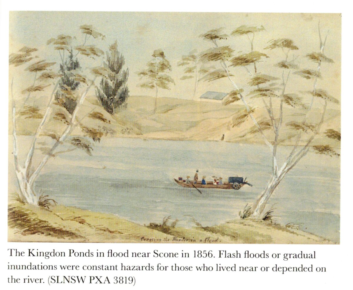
Featured Image: Gratefully acknowledge the source in ‘The Convict Valley’ by Mark Dunn. (SLNSW PXA 3819) Published by Allen & Unwin 2020
I was fortunate to receive a Christmas gift of the book cited above. I devoured it forthwith. I wrote earlier about the township of Scone (‘Invermein’) and its foundation location adjacent to the Scone Lagoon near the Parson’s Gully/Kingdon Ponds confluence. Following many inundations over time the dwellings and business district tended to ‘migrate’ eastwards away from the regular deluging barrages. Also, flood mitigation work was carried out on Figtree Gully in the 1970s which bisected the town eventually dispersing over and through White Park before linking up with Parson’s Gully and Kingdom Ponds to the south.
We have just experienced a recent ‘La Nina’ weather pattern which produced regular flooding in the catchment including the major ‘tributaries’ of Parson’s Gully, Kingdon Ponds, Figtree Gully, Middlebrook and Dartbrook. Not all of this impacts the conurbation. However, the cumulative effect has a profound effect on the community. Those who are mostly affected are the residents of Aberdeen Street and situations ‘westward’ including the larger suburb of Satur. It’s a recurring ‘nightmare’ for some, especially those who have not raised the level of their houses along Aberdeen Street.
The construction of the Scone Bypass has arguably alleviated the impact by forming a mini levee to the northern approaches pushing the Parson’s Gully surge away from the populated areas, at least as far as Liverpool Street. Those residents on the south-western side of Aberdeen Street might view it differently. We can be quite sure it will all happen again in the not-too-distant future. Will we be ready?